

3.6 earthquake hits 30 miles north of Paso Robles
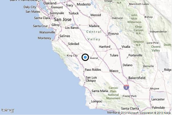
This map shows the location of the epicenter of Tuesday morning’s quake north of Paso Robles. – LA Times
A shallow magnitude 3.6 earthquake was reported Tuesday morning about 30 miles northeast of Paso Robles in the Central Valley, according to the U.S. Geological Survey. The temblor happened at 8:02 a.m. Pacific time at a depth of about 3.7 miles.
According to the USGS, the epicenter was 16 miles from Coalinga, 30 miles from Paso Robles and 178 miles from Sacramento.
In the last 10 days, there have been no earthquakes magnitude 3.0 and greater centered nearby. This information comes from the USGS Earthquake Notification Service.


Share To Social Media
Comments
Posted in: Top Stories