
FEMA remaps county flood zones
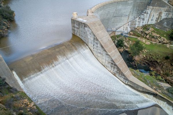
Salinas Dam spilling water. Image courtesy of SLO County Public Works.
Changes made to Salinas River flood maps in Paso Robles, San Miguel
– The Federal Emergency Management Agency (FEMA) has proposed changes to the Flood Hazard Maps in specific areas of San Luis Obispo County. These specific areas are:
- Salinas River, from the northern boundary of Paso Robles, through San Miguel, to the county line
- San Luis Obispo Creek, from the southern boundary of San Luis Obispo to Avila Beach
- Huer Huero Creek, in and around Creston
- Meadow Creek, through parts of Arroyo Grande, Grover Beach, Pismo Beach, and Oceano
The County of San Luis Obispo has been working with FEMA by providing input throughout the mapping process. The proposed changes include adding and removing properties from the 1% chance annual flood area (aka the 100-year flood zone), providing depths of anticipated flooding, and introducing defined floodways for certain areas. These changes could impact property/home insurance and development.
To provide specific information related to these four areas, county staff will be discussing these updates at upcoming advisory council meetings:
The Avila meeting was Oct. 3. For information on flood plains in the Avila area, go to Avila Valley Advisory Council.
- Oct. 19 – Creston Advisory Body
- Oct. 20 – Oceano Advisory Council
- Oct. 26 – San Miguel Advisory Council
To check whether your property is affected by these changes, visit FEMA’s map viewer (Note: may take time to load):
https://fema.maps.arcgis.com/apps/webappviewer/index.html?id=e7a7dc3ebd7f4ad39bb8e485bb64ce44
For additional information regarding insurance requirements, flood hazard mapping, and more, visit: https://www.fema.gov/flood-insurance